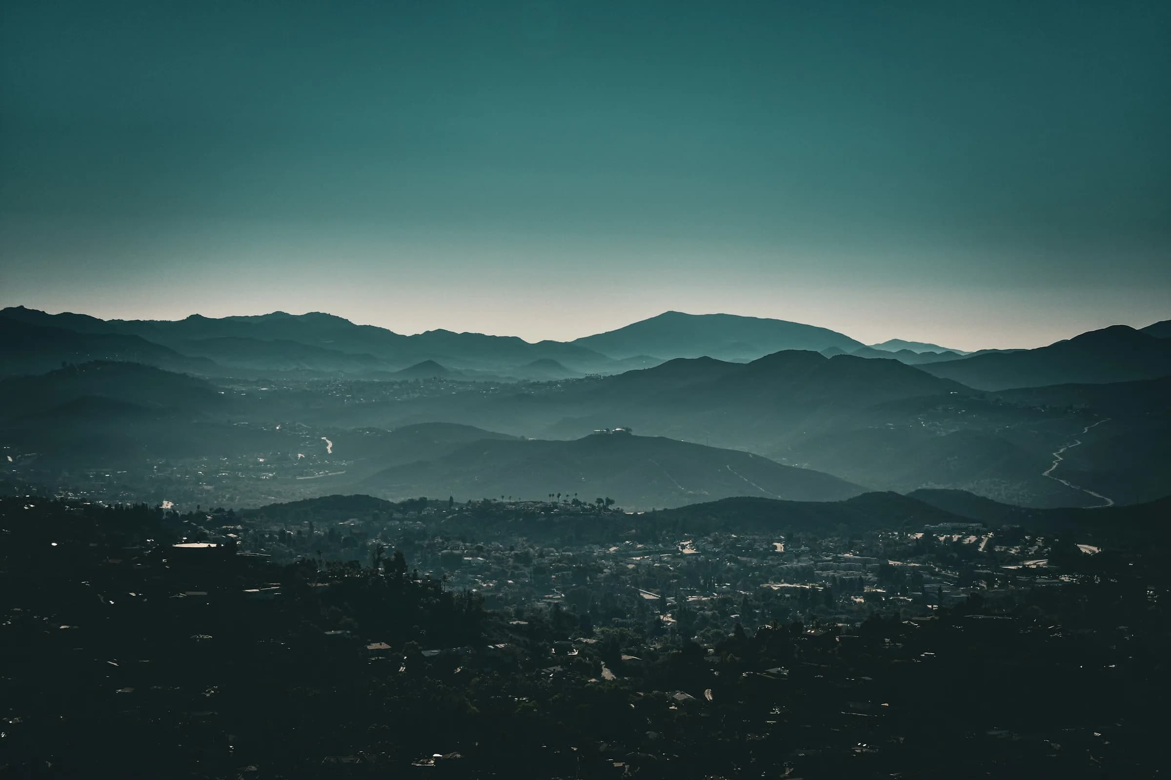
Santee, CA Neighborhood Guide: Homes, Schools & Lifestyle
Santee blends Santee Lakes, trolley access, and Mission Trails Regional Park with homes near $780K median in this East County suburb.
San Diego County · 6 min read
Overview
Santee is an East County suburb built along the San Diego River, bordered by Mission Trails Regional Park and the San Diego River corridor to the west and southwest, El Cajon to the south, and unincorporated East County and Lakeside to the north and east. The city is best known for Santee Lakes, family-oriented neighborhoods, golf, and a direct San Diego Trolley connection into the region's rail network.
Santee incorporated as a city on December 1, 1980, after residents voted for cityhood having rejected it three years earlier. The San Diego Trolley's Copper Line terminates at Santee Town Center station, giving the city a direct rail link toward El Cajon and, via transfer, downtown San Diego. The city is also bisected by the San Diego River and Forrester Creek corridor, a wildland-urban interface zone that Santee's fire department actively manages for wildfire risk.
Thinking about Santee?
Talk it through with Nataliya Fonseca — buying, selling or just weighing the move.
Things to Do
Santee Lakes Recreation Preserve is the city's signature attraction: a 190-acre, seven-lake preserve with more than 5 miles of trails, fishing, pedal boats, cabins, and a 300-site campground that draws over 670,000 visitors a year. The preserve is built around recycled water and is self-funded by Padre Dam Municipal Water District rather than tax dollars.
Mission Trails Regional Park, one of the largest urban parks in the U.S., sits adjacent to Santee along the San Diego River, with extensive hiking and biking trails and the historic Old Mission Dam at its western edge. Golfers can play Carlton Oaks Golf Club, an 18-hole championship course originally opened in 1958 and redesigned by Perry Dye in 1989, stretching to 7,410 yards from the back tees. Big Rock Park offers pickleball courts, the Santee Teen Center, athletic fields, and picnic shelters.
The Santee Street Fair and Craft Beer Festival runs over Memorial Day weekend each May, and the Santee Certified Farmers Market is held weekly on Wednesdays from 3 to 7 p.m.
Dining and Shopping
Santee Trolley Square, also known as Santee Town Center, is an open-air shopping and dining center built directly around the Santee Trolley/Copper Line terminus. It houses roughly 30 stores and 11 restaurants, including Target, Costco, TJ Maxx, Old Navy, Olive Garden, Chili's, and Phil's BBQ. The Santee Certified Farmers Market adds a weekly local option, held Wednesdays from 3 to 7 p.m.
Schools
Santee School District operates the city's public elementary and middle schools, covering kindergarten through 8th grade. High school students attend Grossmont Union High School District schools, primarily Santana High School and West Hills High School, both located in Santee. School data provided by GreatSchools.
Getting Around
Santee has freeway access via State Route 52, State Route 67, and, through nearby corridors including SR-125, Interstate 8. The San Diego Trolley's Copper Line terminates at the Santee Town Center station, and MTS bus routes 832, 833, and 834 serve the city. From Santee, downtown San Diego is about a 25-minute drive.
Santee carries a Walk Score of 35 as of 2026. Scores provided by Walk Score®.
Housing and Market
Santee's housing stock is predominantly single-family detached homes, with pockets of townhomes and garden apartments. Hillside and canyon-adjacent tracts sit alongside flatter valley-floor neighborhoods. Most homes were built from the 1960s through the 1990s, as ranch and agricultural land was subdivided following the city's 1980 incorporation.
As of July 2026, Santee's median sale price was $779,610, with a price per square foot of $492 and a median of 52 days on market.
Homes for sale
See what’s on the market in Santee right now.
By the Numbers
| Metric | Value |
|---|---|
| Population | 59,332 (2019-2023 ACS 5-Year Estimate) |
| Median age | 40.3 |
| Median household income | $105,613 |
| Owner-occupied households | 71.9% |
| Median sale price | $779,610 (July 2026) |
| Price per square foot | $492 |
| Median days on market | 52 |
| Walk Score | 35 |
Scores provided by Walk Score®.
Know Before You Buy
The San Diego River and Forrester Creek corridor running through Santee is a wildland-urban interface zone with elevated wildfire risk, and the city maintains an active San Diego River Fire Hazard Mitigation Plan. Santee has participated in FEMA's National Flood Insurance Program since 1982 and maps floodplain areas near the river.
History
The area was originally part of Mission San Diego de Alcalá's watershed. The Old Mission Dam, built starting in 1779 under Junípero Serra using Kumeyaay labor, sits at the city's western edge near Mission Trails Regional Park.
George A. Cowles purchased roughly 4,000 acres in 1877 to plant vineyards, and the settlement became known as Cowleston, linked by the Cuyamaca Railroad's Cowles Station. After Cowles' widow Jennie remarried surveyor Milton Santee, the community was renamed Santee in 1893 when it took over the local post office. Voters approved incorporation in 1980, converting the former ranch and agricultural land into an incorporated suburban city.
Nearby Neighborhoods
Santee sits near several East County and North City San Diego communities, including El Cajon, Lakeside, San Carlos, and Tierrasanta.
Frequently Asked Questions
What is the median home price in Santee, CA right now?
As of July 2026, Santee's median sale price was $779,610, with a price per square foot of $492 and a median of 52 days on market.
Is Santee, CA a good place to live for commuters to downtown San Diego?
Santee is about a 25-minute drive from downtown San Diego, and the San Diego Trolley's Copper Line terminates at Santee Town Center station, offering a direct rail link toward El Cajon and, via transfer, downtown San Diego.
What school district serves Santee, CA?
Santee School District operates the city's public elementary and middle schools (K-8). High school students attend Grossmont Union High School District schools, primarily Santana High School and West Hills High School, both located in Santee. School data provided by GreatSchools.
Does Santee have trolley or public transit access to San Diego?
Yes. The San Diego Trolley's Copper Line terminates at the Santee Town Center station, and MTS bus routes 832, 833, and 834 also serve the city.
What are the best parks and outdoor spaces in Santee, CA?
Santee Lakes Recreation Preserve is a 190-acre, seven-lake park with more than 5 miles of trails, fishing, pedal boats, cabins, and a 300-site campground drawing over 670,000 visitors a year. Mission Trails Regional Park sits adjacent to the city, and Big Rock Park offers pickleball courts, athletic fields, and picnic shelters.
Is Santee, CA at risk of wildfire or flooding from the San Diego River?
The San Diego River and Forrester Creek corridor through Santee is a wildland-urban interface zone with elevated wildfire risk, managed under an active San Diego River Fire Hazard Mitigation Plan. Santee has also participated in FEMA's National Flood Insurance Program since 1982 and maps floodplain areas near the river.
What shopping and dining options are near Santee Town Center?
Santee Trolley Square, built around the trolley terminus, has roughly 30 stores and 11 restaurants, including Target, Costco, TJ Maxx, Old Navy, Olive Garden, Chili's, and Phil's BBQ.
How far is Santee from Mission Trails Regional Park and downtown San Diego?
Mission Trails Regional Park is adjacent to Santee along the San Diego River. Downtown San Diego is about a 25-minute drive from Santee.
What is Santee known for?
Santee is known for Santee Lakes Recreation Preserve, its location along the San Diego River next to Mission Trails Regional Park, and direct San Diego Trolley access via the Copper Line's terminus at Santee Town Center.
Thinking about Santee?
Talk it through with Nataliya Fonseca — buying, selling or just weighing the move.